
History of the Camargue
Etymology
The exact etymology of the word 'Camargue' is unknown, and there are numerous hypotheses about its origin. One theory is that it comes from the Celto-Ligurian (Provençal) word camar, meaning 'field covered with water'. Alternatively, based on archival documents, it could have a Latin origin corresponding to the estate of Senator Camars, a wealthy landowner whose family dominated the city of Arles in the 1st century.
Territory
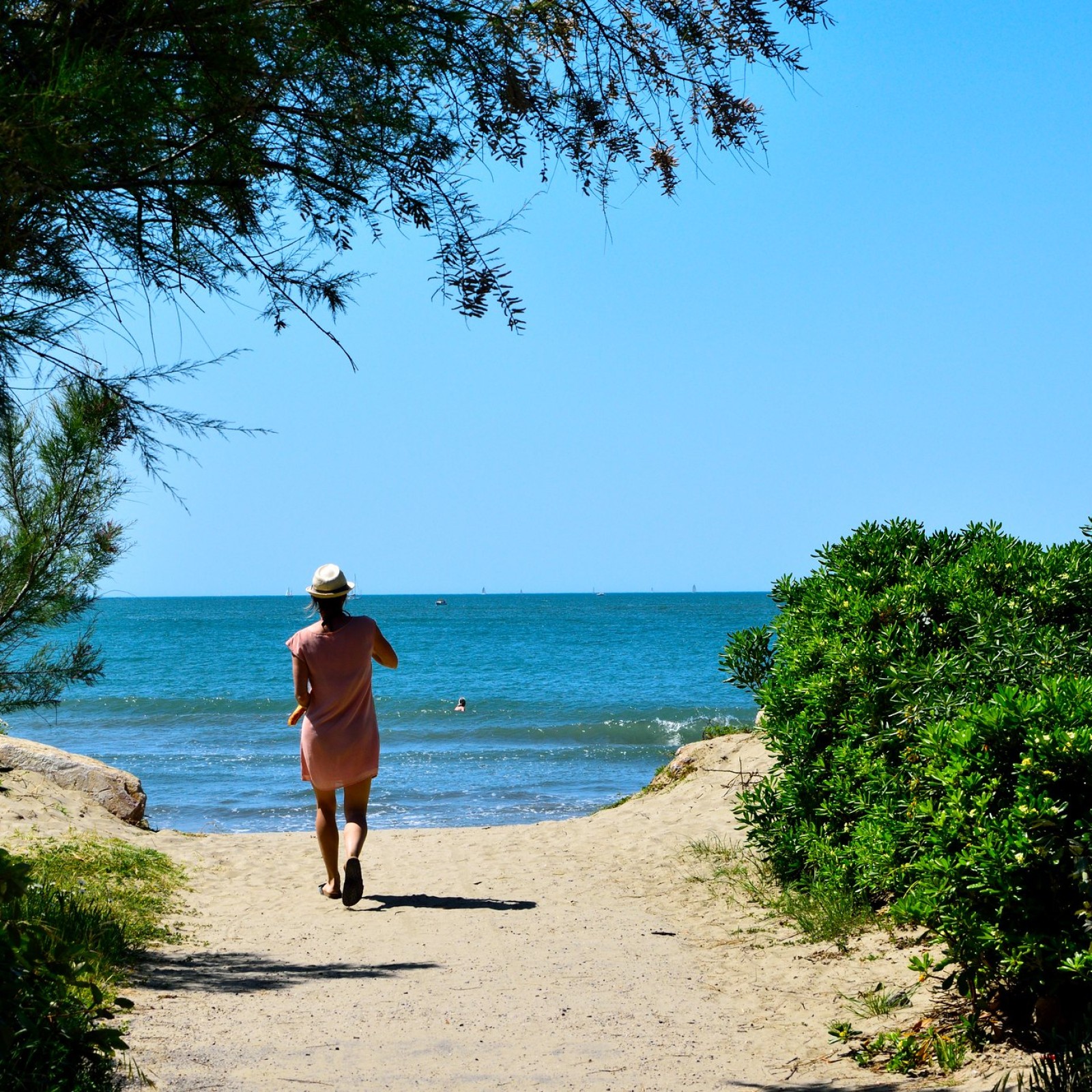
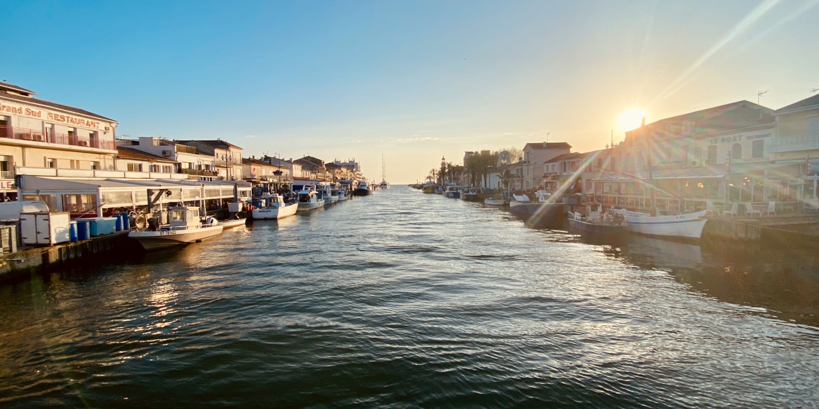
The Camargue is a 150,000-hectare marshland area formed by the Rhône delta and the Mediterranean Sea. The second largest delta in the Mediterranean, it forms a triangle with Le Grau du Roi, Arles and Fos-sur-Mer at its corners, as all deltas do.
The Camargue is divided into three parts:
- The Petite Camargue, which lies to the west of the Petit Rhône
- The Île de Camargue (also known as the Grande Camargue) lies between the two branches of the Rhône.
- Le Plan Bourg, to the east of the Grand Rhône.
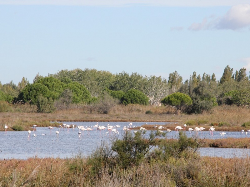
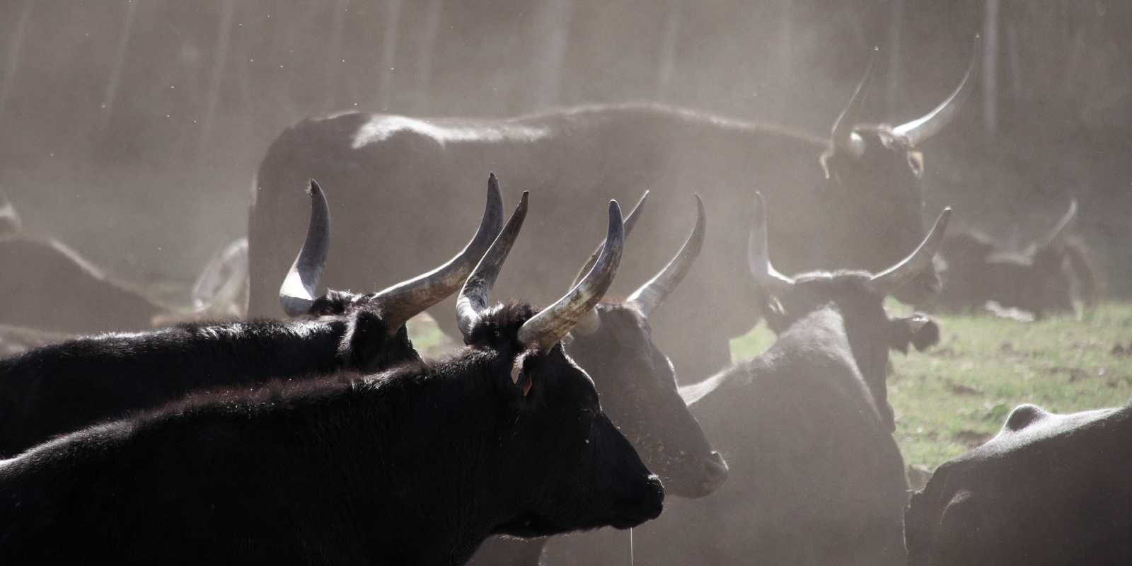
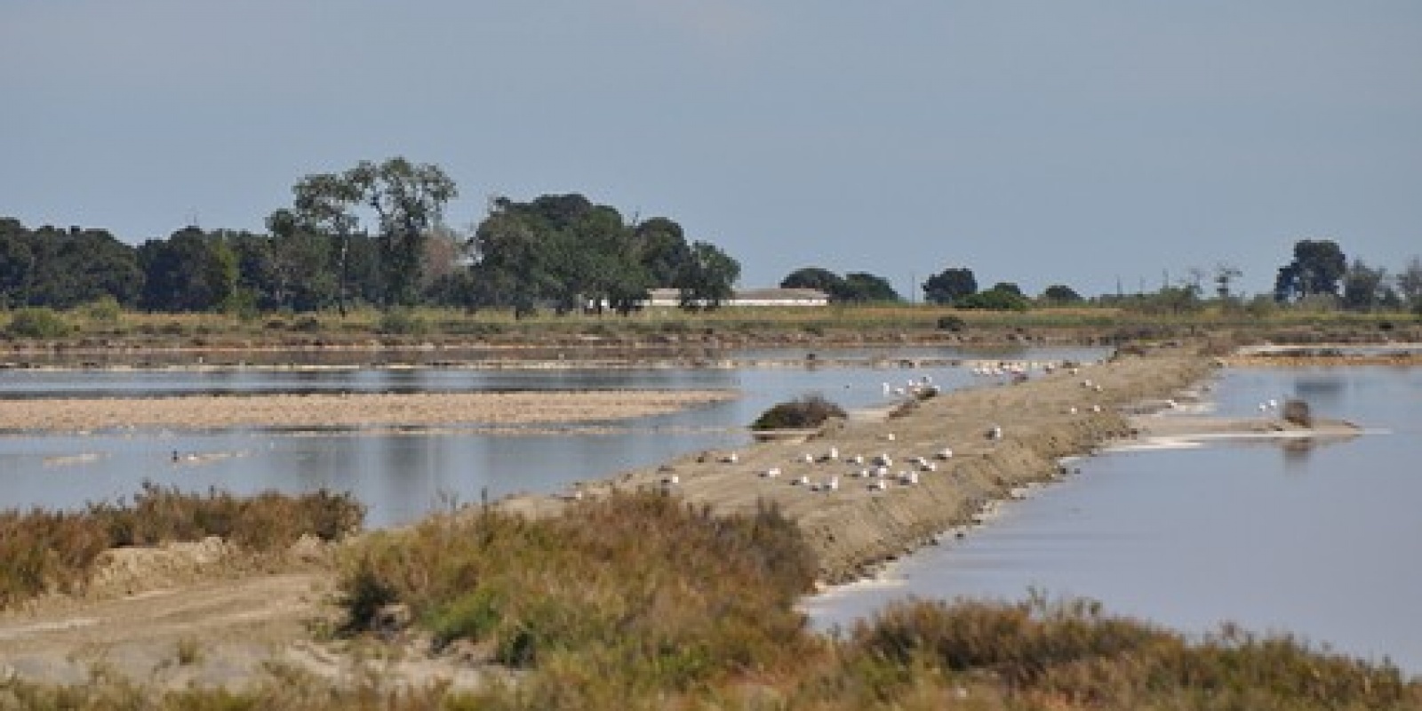
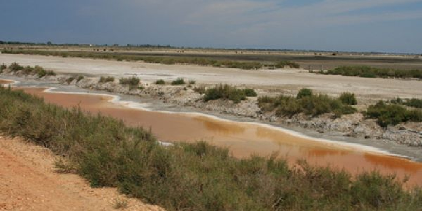
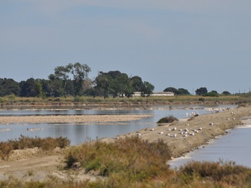
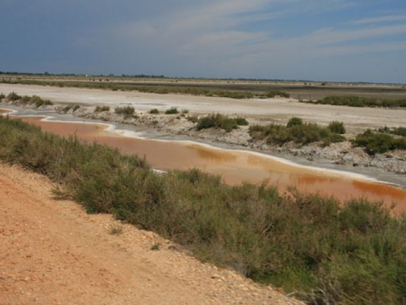
The Camargue's distinct landscapes have developed under the influence of the Rhône's freshwater, the Mediterranean Sea's saltwater, the sun and the wind. In the north, the fluvial-lacustrine Camargue consists mainly of freshwater marshes, which have enabled agriculture to flourish. In contrast, in the south, the lagoonal-marine Camargue is under the influence of salt and has fostered the emergence of a unique ecosystem adapted to the salinity of its marshes and saltwater lakes. The Vaccarès lagoon, covering nearly 6,300 hectares, lies in the centre and provides a transition between these two worlds.
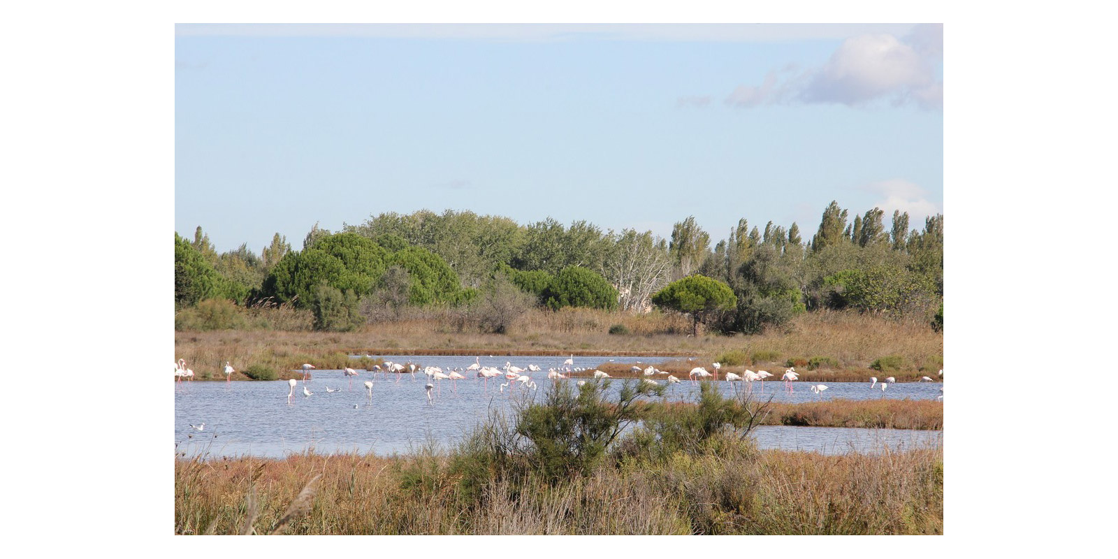
The Camargue is one of the largest wetland reserves in Europe thanks to the diversity of its wildlife, which is both wild and attractive. Various protective measures have been implemented to safeguard this exceptional natural heritage. The botanical and zoological reserve was established in 1928, and the Vaccarès lagoon and its surroundings were designated the Camargue Regional Nature Park in 1970. Many other sites, such as the Scamandre reserve and the Espiguette plain, are also protected by various statutes.
History
Antiquity
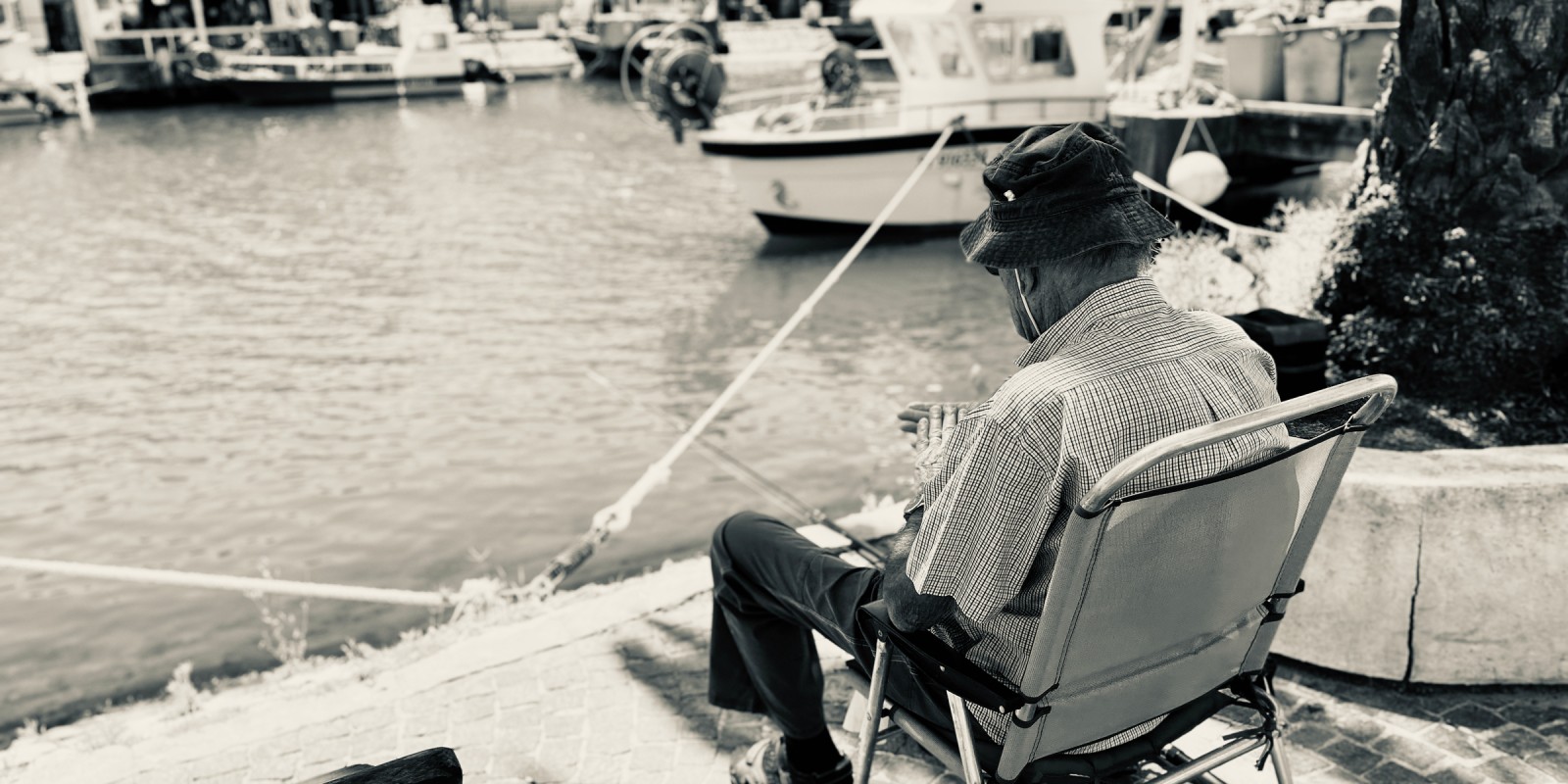
The first evidence of human presence in the Camargue dates back to antiquity. The Ligurians, an indigenous people who lived on the Mediterranean coast, earned a living by fishing in the Vaccarès lagoon. The Romans then began cultivating the Rhône delta, developing the first salt marshes in the Aigues-Mortes area. Other peoples are also believed to have settled in the Camargue, including the Vikings, who reportedly spent the winter of 859 in Saintes-Maries-de-la-Mer, and the Saracens in the 10th century. However, very few traces of their presence remain.
The Camargue from the Middle Ages onwards
During this period, monks drained the marshes and developed agriculture, while forests were exploited for wood to fuel the navy. In 1240, Louis IX (known as Saint Louis) purchased the Aigues-Mortes lands from the monks in order to establish a fortified port and gain direct access to the Mediterranean Sea.
He had the Carbonnière tower built as a watchtower to protect access to the town and the Constance tower to house the garrison. His son and successor continued work on the ramparts, which were not completed for another 30 years. From the 17th to the 19th century, the expansion of salt marshes and market towns contributed to agricultural advancement in the delta. During the 20th century, the intensification of rice and vegetable farming accelerated the industrialisation and urbanisation of the Camargue, resulting in the degradation of the delta's wetlands. Since the 1970s, protective measures have been implemented to safeguard these fragile natural areas.